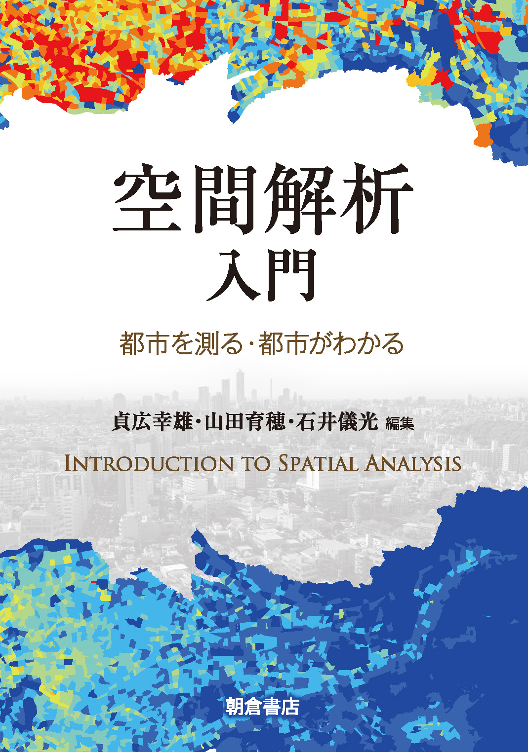
Title
Kuukankaiseki Nyumon (Introduction to Spatial Analysis)
Size
184 pages, B5 format
Language
Japanese
Released
August 05, 2018
ISBN
978-4-254-16356-8
Published by
Asakura Publishing Co., Ltd.
Book Info
See Book Availability at Library
Japanese Page
This book provides an outline of the methods used for analyzing the spatial patterns of objects and phenomena. In urban spaces, one observes various spatial patterns, such as land use, land cover, population distribution, road network, traffic flow, and migrations. We analyze these patterns to reveal their underlying structures; this eventually leads to the improvement of urban spaces. The methods used for analysis do not necessarily assume urban spaces; thus, many methods developed in the fields of geography, econometrics, and statistics consider more general spaces. This is the reason why the book’s title is Introduction to Spatial Analysis. The methods treated in this book are valid for not only urban spaces, but also more general ones.
Chapter 1 introduces the basic methods used for spatial analysis. This chapter does not require the reader to have basic knowledge of mathematics, statistics, and computer science. The methods described in this chapter provide the base for understanding the methods discussed in the subsequent chapters. Chapter 2, which treats more advanced topics in spatial analysis, makes extensive use of mathematical representations. Readers can skip the mathematical sections if they find them difficult to understand; however, they would still be able to understand the outline of the methods presented. It is also possible to read the various sections by consulting the references listed at the end of the book. Chapter 3 discusses network spaces. Network spaces represent not only physical networks, such as road and communication networks, but also virtual ones, including social networks. The analysis of network spaces and spatial objects on network spaces is described. Chapter 4 illustrates five applications of the methods for spatial analysis. The discussion of architecture, tourism, and multi-agent simulation in the chapter reflects the wide range of applications of spatial analysis.
Spatial analysis reveals the underlying structures of spatial objects and phenomena that cannot be understood by simply looking at maps or pictures. What determines the land use pattern in urban areas? How do weather conditions affect the population distribution? How do we choose our residential locations? What is the optimal location of elementary schools? What kind of data are necessary to answer these questions? How can we analyze the data obtained? How should we interpret the results of analysis? This book aims to answer all these questions. We believe that readers can experience the magic of spatial analysis by reading this book.
(Written by Yukio Sadahiro, Professor, Interfaculty Initiative in Information Studies / 2019)


 Find a book


 eBook
eBook