Find a book


Title
Rereading Japanese History Chusei no Tōkaidō o iku (Travelling along the Tōkaidō in the Middle Ages: The Landscape en Route from Kyoto to Kamakura)
Size
240 pages, 127x188mm
Language
Japanese
Released
January 18, 2019
ISBN
9784642071017
Published by
Yoshikawa Kobunkan
Book Info
See Book Availability at Library
Japanese Page
 eBook
eBook
Even the landscape of the mountains and the sea, which would seem to exist as a matter of course, has a history of having undergone changes due to natural disasters and human intervention. In this book, I consider with reference to the travel journals and poems of medieval travellers the scenes that would have unfolded in the Kamakura to Muromachi periods along the Tōkaidō, or Eastern Sea Road, the scenery of which is so familiar to us through the windows of the bullet train between Tokyo and Kyoto.
Of course, the geography of seven hundred years ago cannot be restored solely on the basis of travel journals and poems, which emphasize the mood of the writer. It is natural to suspect that writing full of literary turns of phrase may also include fictional passages that differ from the writer’s actual experiences. Accordingly, I decided to make use of physical data that seemed useful for learning about the topography in the past.
For example, having established from details given in a particular passage the location, date, and time of the writer when the passage was written, I then estimated on the basis of data from the natural sciences the position of the sun, the phase of the moon, the level of the tide, and so on at the time in question. I also examined the relationship between changes in the courses of rivers and uplift and subsidence due to earthquakes and the relationship between sediment data obtained through borehole drilling and waterfront areas. Upon comparing my findings with passages in travel journals and poems, I found that the scenery described in these works was surprisingly similar to the actual landscape at the time. Some of the features of the landscape along the Tōkaidō in the medieval period that came to light in this way were as follows.
1. During the Kamakura period, the Kiso and Nagara Rivers came together in the vicinity of Ōgaki in Gifu prefecture, and the lower reaches downstream from their confluence formed an enormous river that was described as being “like the sea.” It was during and after the Muromachi period that the watercourse corresponding to today’s Kiso River became a large river.
2. The area between Atsuta and Narumi in present-day Nagoya turned into the sea when the tide came in and became mud flats when the tide went out, and travellers waited for low tide to cross the mud flats.
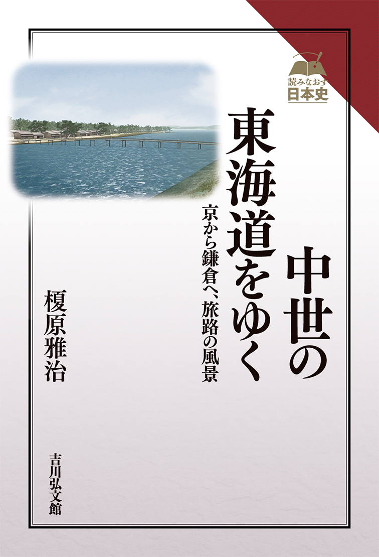
3. The mouth of Lake Hamana lay more than 4 kilometres west of its present location, and there was a bridge across the narrowest section. A long, narrow sandbar extended eastwards from the lake mouth, but the topography changed dramatically owing to a tsunami caused by the Nankai Trough Mega Earthquake in 1497, resulting in the topography we see today.
4 There were several large lagoons on the Enshū Plain in central Shizuoka prefecture, and fishing and shipping had developed there. The lagoons turned into rice-fields as a result of drainage work and reclamation work carried out from the late Sengoku period to the first half of the Edo period.
5. The lower reaches of the Ōi and Fuji Rivers were divided into numerous small distributaries, which people walked across without building bridges or using boats. These distributaries were gradually reduced as new rice-fields began to be developed from the Nanbokuchō period onwards, and the main courses of these two rivers had appeared by the late Sengoku period.
6. At the southern foot of Mt. Fuji there was a long, narrow wetland called Ukishima-numa, and it was extolled as one of the foremost sights along the Tōkaidō. This wetland slowly shrank in size as a result of reclamation work that began in the first half of the Edo period and completely disappeared as a result of reclamation work carried out in modern times.
The landscape along the Tōkaidō until the medieval period was thus quite different from what it is today. I would like the reader to realize that it is possible to draw closer to unwritten history by making appropriate use of not only written sources but also research on the natural sciences and on-line databases.
(Written by EBARA Masaharu, Professor, Historiographical Institute / 2019)