Title
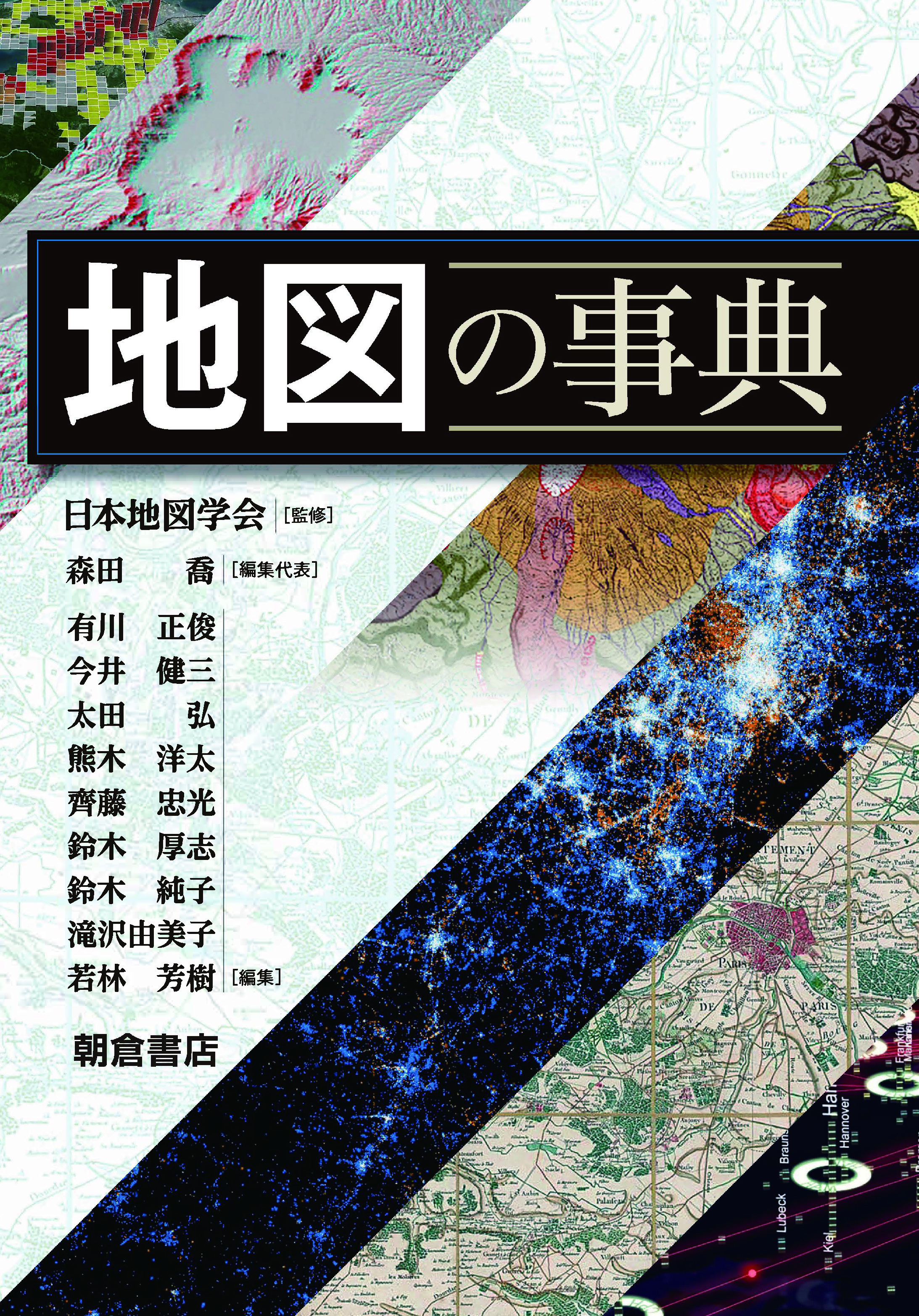
Chizu no Jiten (Encyclopedia of Maps)
Size
532 pages, B5 format
Language
Japanese
Released
November 01, 2021
ISBN
978-4-254-16358-2
Published by
Asakura Publishing
Book Info
See Book Availability at Library
Japanese Page
Today, individuals can make and use maps without any time and location constraints with the help of their PCs and mobile devices. They can also share maps with people worldwide via the Internet. Maps have become ubiquitous in the contemporary society. For example, maps with information on the spread of COVID-19, which has been raging since 2019, have been made in great numbers and circulated daily through television, newspapers, and the Internet.
In this age when maps have become a necessity in our everyday lives, questions such as “What is a map?”, “How are maps made?”, and “How can we use maps properly?” have become important. This book would be the perfect reference for those who want answers to these questions or are interested in maps.
This book is an unprecedented encyclopedia of maps from a diverse range of perspectives, with 200 items recorded in 15 chapters in 3 parts by a total of 119 map specialists. While many books on maps focus on the construction of maps, this book deals with not only with such technical issues, but also social issues, emphasizing on readers’ acquisition of map literacy.
The first part, Understanding Maps, introduces the philosophy of maps, the history of maps, the relationship between maps and society, the concept and theory of maps, and new developments in the field of maps. Anyone who has wondered “What is a map?” can read this part to learn about a wide range of philosophical and social aspects of maps.
In Part 2, Making Maps, the fundamentals of cartographic techniques are first presented. It then introduces the types of maps and how they are designed, produced, and reproduced and finally explains how to make and share digital maps on the Internet. Here, readers can learn not only the techniques but also the social aspects of the series of tasks involved in knowing what, where, and how things exist on the earth, to visually represent that data in the form of maps.
Finally, Part 3, Using Maps, not only explains how to read and understand maps (techniques of map reading), but also identifies the cognitive skills related to map reading, how to use maps in various social situations, how to obtain and store maps, and the current state of education and research on maps. In short, “using maps” has various meanings. In order to use maps, we must obtain them in the first place. In order to read and understand maps comprehensively, we must have the appropriate skills and knowledge. In this part, readers will learn about the many facets of “using maps.”
Maps are more complex than we think and there is much to consider while using them. If you have any questions about maps, please pick up this book.
(Written by TANAKA Masahiro, Assistant Professor, Graduate School of Arts and Sciences / 2022)


 Find a book


 eBook
eBook

