


Development of ADB’s Spatial Application Facility (SAF)

Ryosuke Shibasaki
Center for Spatial Information Science
Professor
※Faculty as of March 2024.
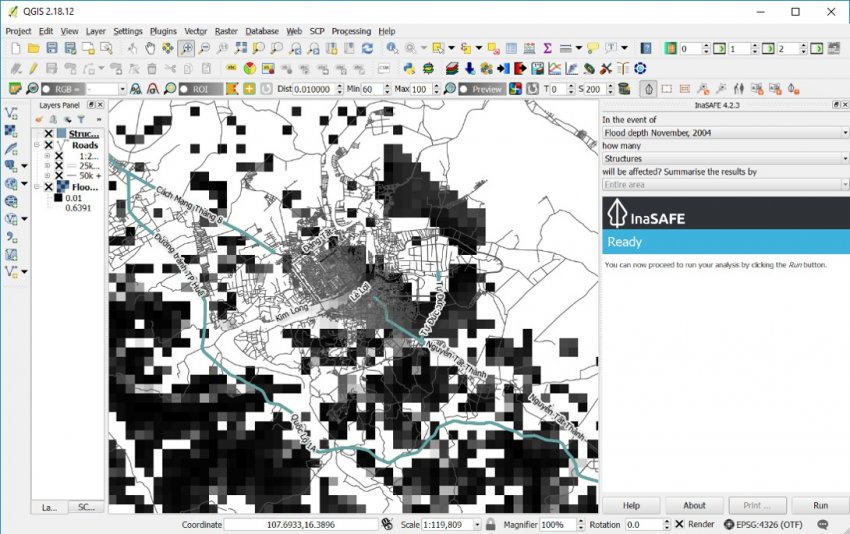
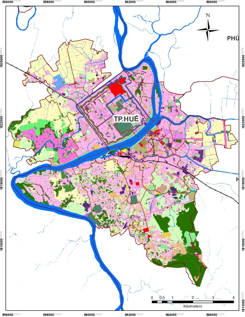
This project offers support to a technical assistance project by the Asian Development Bank’s “TA-8913 REG: Promoting Urban Climate Change Resilience in Selected Asian Cities - Developing Integrated Urban Development Plans in Selected DMC Cities Incorporating Urban Climate Change Resilience Principles (Subproject 1).“ To that end, this program provides models of floods, storm surges, and socio-economic data from the Data Integration and Analysis System (DIAS) and delivering data for disaster risk management for stakeholders to do the decision making in ADB’s development projects.
By the research project team
By the research project team
Related links
Research collaborators
- Asian Development Bank
Related publications
- Miyazaki, H., Shao, X., Iwao, K. and Shibasaki, R. (2013) 'An automated method for global urban area mapping by integrating ASTER satellite images and GIS data', IEEE Journal of Selected Topics in Applied Earth Observations and Remote Sensing, 6(2), 1-27.
- Iwami, Y., Hasegawa, A., Miyamoto, M., Kudo, S., Yamazaki, Y., Ushiyama, T. and Koike, T. (2017) 'Comparative study on climate change impact on precipitation and floods in Asian river basins', Hydrological Research Letters, 11(1), 24-30.
- Iwami, Y., Hasegawa, A., Miyamoto, M., Kudo, S., Yamazaki, Y., Ushiyama, T. and Koike, T. (2017) 'Comparative study on climate change impact on precipitation and floods in Asian river basins', Hydrological Research Letters, 11(1), 24-30.


